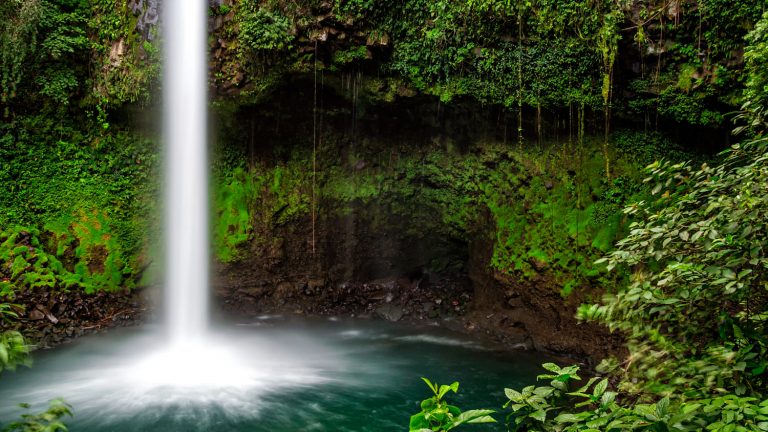
La Fortuna Waterfall
The waterfalls are situated just 5.5 km southwest of La Fortuna Town. You can easily reach the falls by foot,
Copyright visitcentroamerica.com/en/visitar/tenorio-volcano-national-park/
The Tenorio Volcano National Park situated in the Northern part of Costa Rica features some stunning river views, an abundance of flora and fauna, multiple natural hot springs and plenty of opportunities for wildlife adventures. The National Park is home of the popular Rio Celeste and the Blue River, known for its dramatic blue waters. The Río Celeste trail is 3.7 miles long, round trip. In addition to the river, the Tenorio Volcano is one of the main attractions of the park. Lago Las Dantas Trail will lead you to the 6286 feet summit of the volcano. Swimming in Tenorio Volcano National Park is prohibited.
You can drive to Tenorio Volcano National Park from San Jose by taking the main highway to San Carlos and then to Upala. There are no buses or shuttles that go directly to the Tenorio Volcano National Park entrance.

The waterfalls are situated just 5.5 km southwest of La Fortuna Town. You can easily reach the falls by foot,

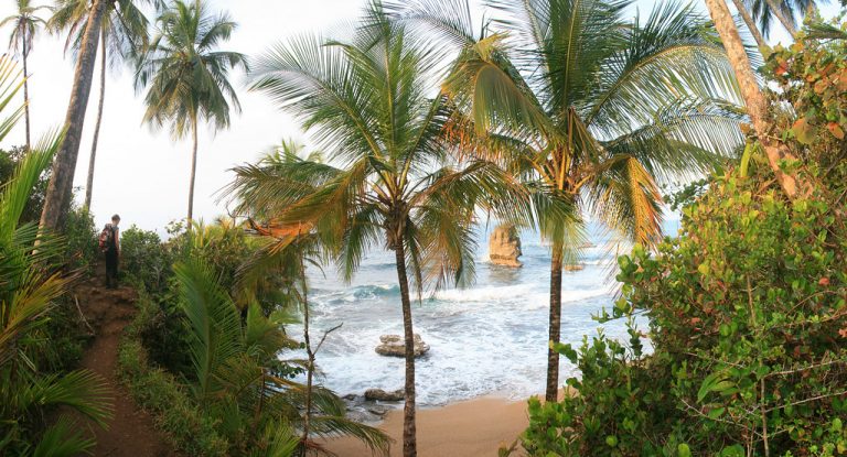
In many ways, a rental car is a great way to get to Puerto Viejo, but you can also chose

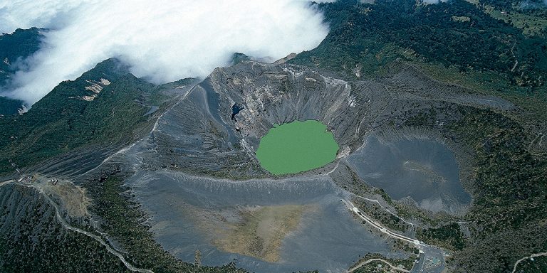
Irazu volcano is situated only about 30 kilometers away from the city of Cartago. Once you reach the city, you
A community based on sharing tips and experiences on the different destinations of the world.