Gandoca Manzanillo Wildlife Refuge
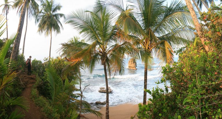
Gandoca Manzanillo Wildlife Refuge is situated just a few kilometers north of the border of Panama in Talamanca County. You
Copyright Flickr: Travicted Photography
Chirripo National Park is 125 600 acres of pure wilderness beauty. The most popular attraction in Chirripó National Park the climb to Cerro Chirripó Grande, the highest peak in all of Costa Rica. The views at the summit are spectacular,. In fact, on a clear day, you can see both the Pacific Ocean and the Caribbean Sea. It is definitely a unique experience. The whole trail is approximately 20km long and 7218 feet high. The average hiking time to the summit is 8–10 hours. There are mountain huts (refugios) where you can spend the night. However, you will need a permit to hike the trail, which you can purchase at the National Park office directly.
To reach Chirripo National Park, you can take the bus from San Isidro Terminal towards San Gerardo, or you can rent a motor vehicle and drive there yourself. However, we suggest to avoid driving in Costa Rica at night.

Gandoca Manzanillo Wildlife Refuge is situated just a few kilometers north of the border of Panama in Talamanca County. You

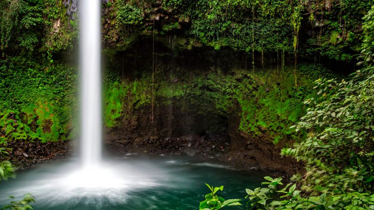
The waterfalls are situated just 5.5 km southwest of La Fortuna Town. You can easily reach the falls by foot,

In many ways, a rental car is a great way to get to Puerto Viejo, but you can also chose
A community based on sharing tips and experiences on the different destinations of the world.