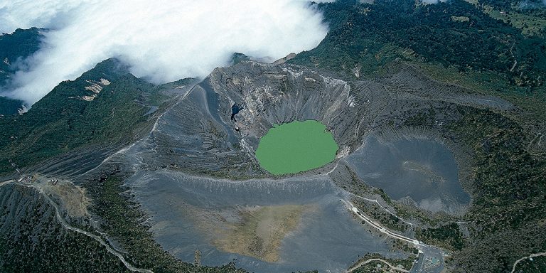
Irazu Volcano
Irazu volcano is situated only about 30 kilometers away from the city of Cartago. Once you reach the city, you
Copyright By Solid Car Rental
Cerro Chato is a majestic volcano situated in Costa Rica's rainforest. It is a popular destination for travellers and hikers from around the world and offers scenic views along the way. The trail to reach the summit of Cerro Chato departs from the Arenal Observatory Lodge and onto Chato's western slope. The trail leads along a ridge and descends towards the eastern slope, leading to an end point near La Fortuna Waterfall.
The best way to get to Cerro Chato Volcano is to drive there yourself. First, reach La Fortuna Town and from there, drive west and follow the signs to the Arenal Volcano National Park. You can hike Cerro Chato Volcano on your own or you can book a tour that includes transportation, the national park fee and a guided tour.

Irazu volcano is situated only about 30 kilometers away from the city of Cartago. Once you reach the city, you

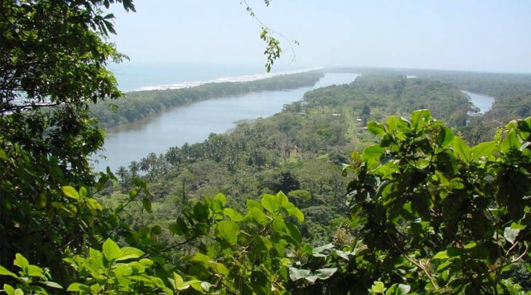
The most common way to reach Tortuguero National Park is to take a private bus. The bus ride from San

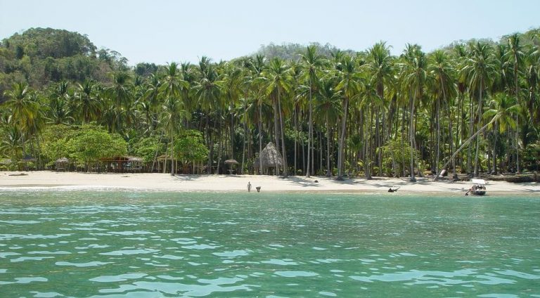
There are few boat compagnies that offer rides to Tortuga Island. The distance of the departure site will dictate the
A community based on sharing tips and experiences on the different destinations of the world.