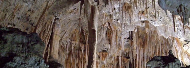
Carlsbad Caverns National Park
There is no public transport to reach Carlsbad Caverns. You can hike your way to the caves, but there is
Copyright Flickr: IanLudwig
Located in Washington's Palouse Falls State Park, the impressive waterfalls are 60 metres high. The park provides a viewpoint facing Palouse Falls. The viewpoint is only a short 1.2 mile walk from the parking area, campground, and picnic area. To get to the basin at the bottom of the falls, simply follow the narrow trail along the ridge and walk down. Be cautious: the descent is extremely steep and slippery.
The easiest way to reach Palouse Waterfalls is to drive your own car. The road is well marked with a sign that indicate “Palouse Falls State Park”. Thereafter, you will find a parking lot at the end of the gravel road.

There is no public transport to reach Carlsbad Caverns. You can hike your way to the caves, but there is

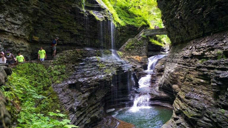
Closest Airport. The closest airport is Elmira-Corning Regional Airport, which is a 35 minute drive from Downtown Watkins Glen. There

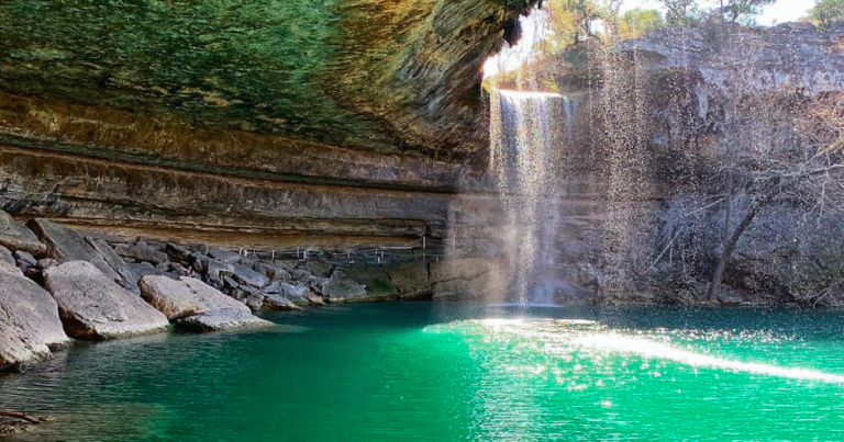
The Hamilton Pool Reserve is a 45 minute drive fom Austin. The best option is to drive your own car
A community based on sharing tips and experiences on the different destinations of the world.