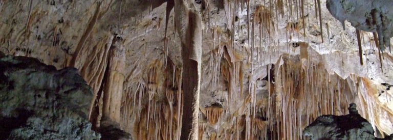
Carlsbad Caverns National Park
There is no public transport to reach Carlsbad Caverns. You can hike your way to the caves, but there is
Copyright Flickr: Mariano Mantel
Multnomah is an impressive waterfall situated along the Columbia River gorge, which includes three separate drops, for a total height of 620 ft. The falls can be seen from I-84 off the main highway. You cannot miss this dramatic scenery. Once parked, walk along the path under the freeway to access the scenic viewing platforms.
The best option to get to Multnomah Waterfalls is to drive your own car. This will allow you to visit the other waterfalls and hiking trails around the area as well. From Portland, you can either take the Historic Columbia River Highway or I-84 to reach Multnomah Falls.

There is no public transport to reach Carlsbad Caverns. You can hike your way to the caves, but there is

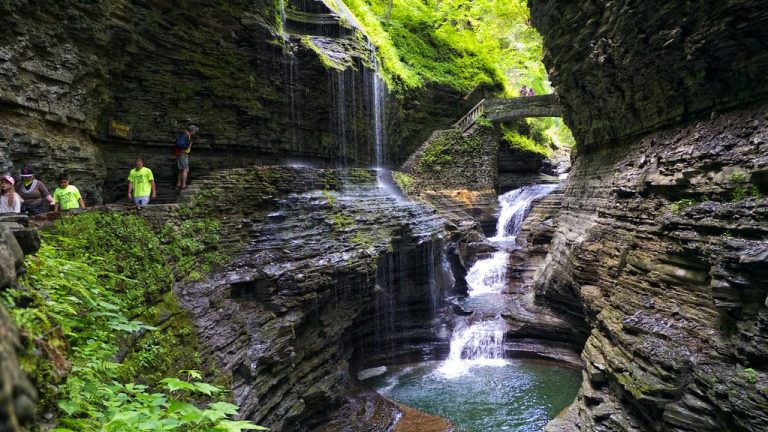
Closest Airport. The closest airport is Elmira-Corning Regional Airport, which is a 35 minute drive from Downtown Watkins Glen. There

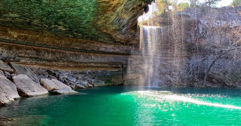
The Hamilton Pool Reserve is a 45 minute drive fom Austin. The best option is to drive your own car
A community based on sharing tips and experiences on the different destinations of the world.