Bear Mountain hike
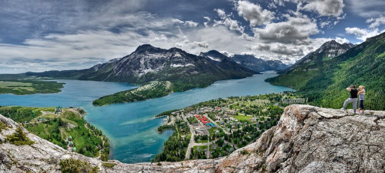
The best way to get to Bear Mountain is to drive your own car because there is no public transportation
Copyright unsplash
Loggers Lake is situated in an extinct volcano crater, sheltered from the wind, and it soaks up the sun's rays into the dark boulders all around. Logger's Lake has a surprisingly large network of hiking trails around it, such as Crater Rim Trail Loop, which is located around Loggers Lake and passes through several scenic views through the beautiful forest.
Loggers Lake is a 15 minute drive from Whistler Village. From the Forest Service Road, you will see a sign indicating Loggers Lake and it will take you to the parking lot.

The best way to get to Bear Mountain is to drive your own car because there is no public transportation

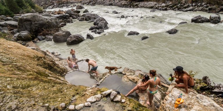
The easiest way to get to the hot springs is by car. The springs are located about an hour’s drive

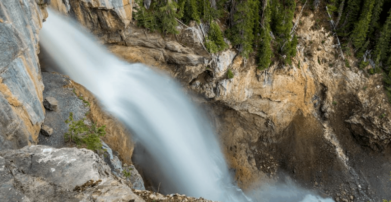
The easiest option to reach Panthers Falls is to drive your own car. There is a huge parking lot is
A community based on sharing tips and experiences on the different destinations of the world.