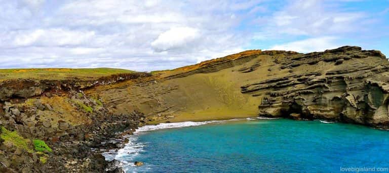
Green Sand Beach
BIG ISLAND – The best way to reach Green Sand Beach is by renting a 4×4 vehicle. You can also
Copyright By Kaleomokuokanalu Chock at flickr.com
The whole trail is made of old railroad ties that are mounted to the hillside from the bottom to the top of an old military bunker. The 30-45 minute hike is hard but rewarded with a panoramic view up top.The abrupt descent is just as exhausting as the ascent. Bring lots of water and cover your head with a hat to avoid sunburns. If you are looking to make the most of your day and transportation is more or less fluid for you, we recommend going snorkeling at Hanauma Bay. The destination is just a few minutes from the Koko Head parking lot. It could be a refreshing way to rest from the difficult climb.
OAHU – The easiest way to get to the start of the Koko Head trail is to drive your own car. You can park at the Koko Head District Park parking lot. You can also take the public bus from Waikiki.

BIG ISLAND – The best way to reach Green Sand Beach is by renting a 4×4 vehicle. You can also

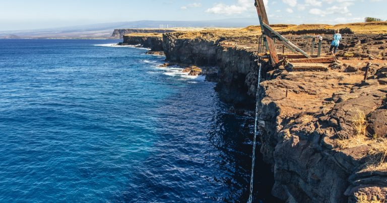
BIG ISLAND – The easiest way to get to South Point is to rent your own 4×4 vehicle. It is

BIG ISLAND – The easiest way to get to Captain Cook is by renting a car and to drive there
A community based on sharing tips and experiences on the different destinations of the world.