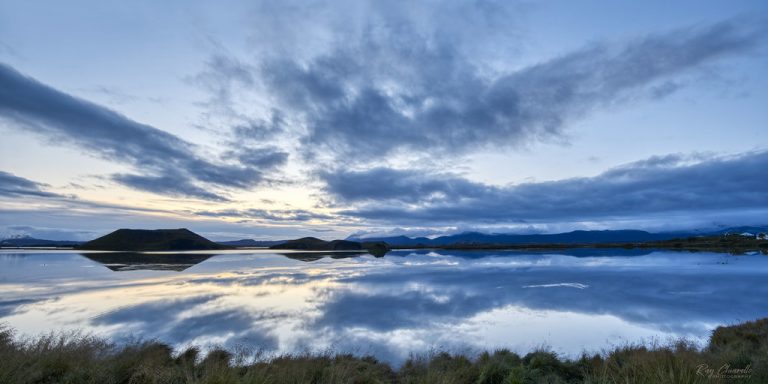
Myvatn Lake
The easiest way to get there is by renting a car. Drive east from Reykjahlíð and take a left at
Copyright By Lizzy Gadd on flickr.com
The canyon has steep walls and winding waters. It is 100 m deep and about 2 kilometres long. The canyon was created by progressive erosions of flowing water from glaciers and rocks. A waterfall flows down the west of the canyon, visible from an observation platform at the end of a one-mile hike up the eastern edge. You can safely walk inside the canyon or walk up the path to the edge of the canyon, where you can stand on a viewing platform.
The most common way to get there is to drive yourself. The drive takes about 3 hours and 10 minutes, excluding stops. The canyon is not far from the main road, where a gravel road will lead you to a parking lot at the end of it.

The easiest way to get there is by renting a car. Drive east from Reykjahlíð and take a left at

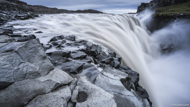
You can get there by car. Take Road 864 off of Road 85 and it will will bring you to

It is 6 hours drive from Reykjavik. There are tours you can book from Reykjavik if you don’t wanna drive.
A community based on sharing tips and experiences on the different destinations of the world.
One Response