Glendalough Lake Walk
Glendalough Lake Walk is located in the Wicklow Mountains National Park, about an hour’s drive south of Dublin, Ireland. Here
Copyright Ireland.com
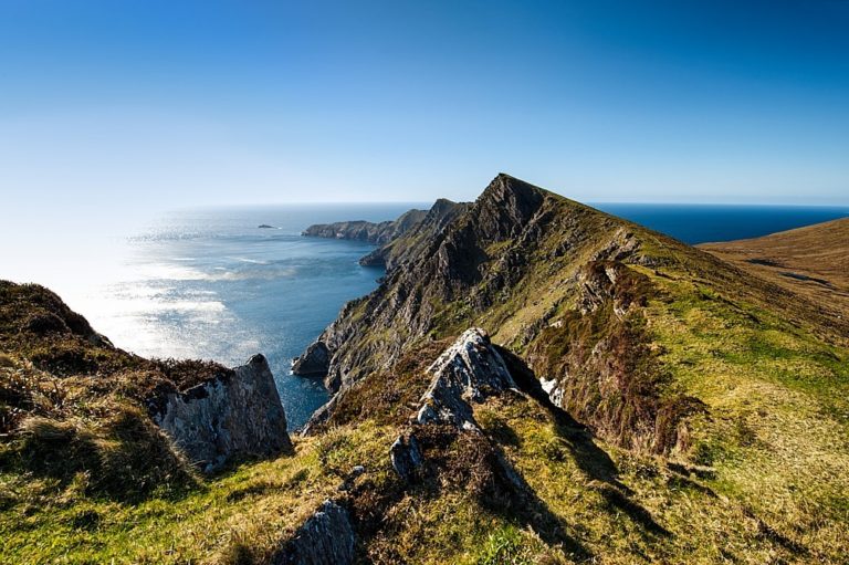
Malin Head is located on the Inishowen Peninsula, the northernmost point in Ireland. It is a scenic coastal area with stunning views of the Atlantic Ocean and rugged coastline. Malin Head is also home to a weather station that provides important meteorological data for Ireland. In addition to its natural beauty, Malin Head has a rich history and cultural significance. It is known for its role in maritime history, particularly during World War II when it was a key location for British naval operations. The area is also home to several ancient megalithic sites, including the impressive stone fort of Grianan of Aileach. Today, Malin Head is a popular destination for tourists and outdoor enthusiasts, offering opportunities for hiking, fishing, and wildlife spotting. It is also a popular spot for surfing and other water sports, thanks to its position on the wild Atlantic coast.
By car: You can drive to Malin Head from Dublin or Belfast, which will take around 4-5 hours. There are also various car rental services available.
By bus: You can take a bus from Dublin to Malin Head, which takes around 6-7 hours. Bus services are available from Dublin Airport or Busáras bus station.

Glendalough Lake Walk is located in the Wicklow Mountains National Park, about an hour’s drive south of Dublin, Ireland. Here

By Car: If you have access to a car, you can take the R319 from Westport and follow the signs

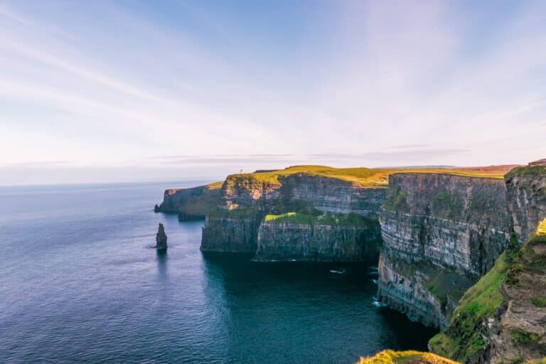
By Car: You can rent a car and drive to the Cliffs of Moher. The journey from Dublin takes around
A community based on sharing tips and experiences on the different destinations of the world.