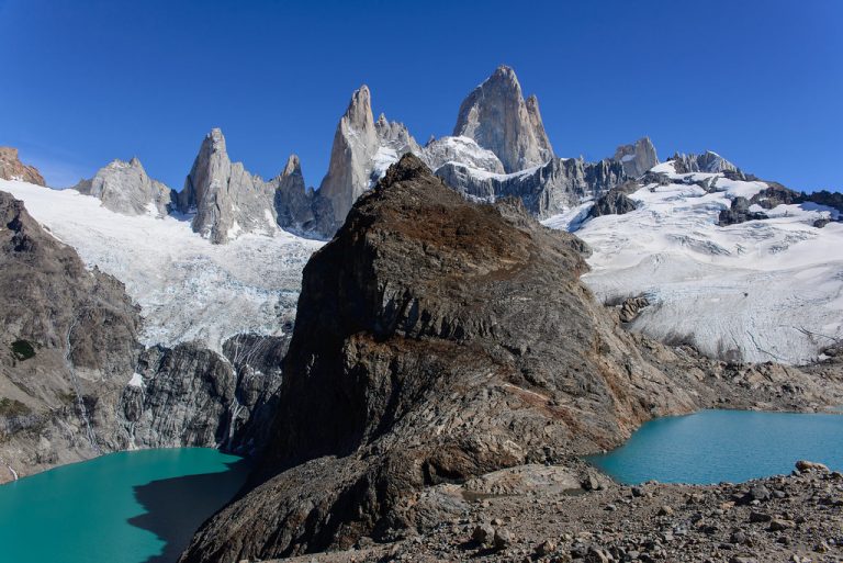
Mount Fitz Roy
You want to get to the town of El Chalten. If you are from Buenos Aires you have to fly
Copyright unsplash
Los Glaciares is a National Park of exceptional natural beauty, with rugged, towering mountains and numerous glaciers that are fed by the massive South Patagonian Ice Field. Boat trips, Ice climbing, ice hiking, kayaking and avariety of walks over glaciers, mountains, frozen lakes and more. You can choose from day trip self-guided walk to few days trek with a guide. During the high season (January through February) it is highly recommended booking in advance for lodging and other tourist services.
Los Glaciares National Park can be accessed from different points of Route No. 40, by bus or by car. There are regular flights from Buenos Aires to El Calafate International Airport in El Calafate, which is the closest town of the national park.

You want to get to the town of El Chalten. If you are from Buenos Aires you have to fly

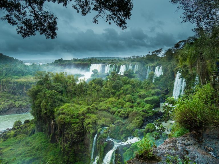
The Iguazu falls may be reached from two main towns, with one on either side of the falls: Foz do

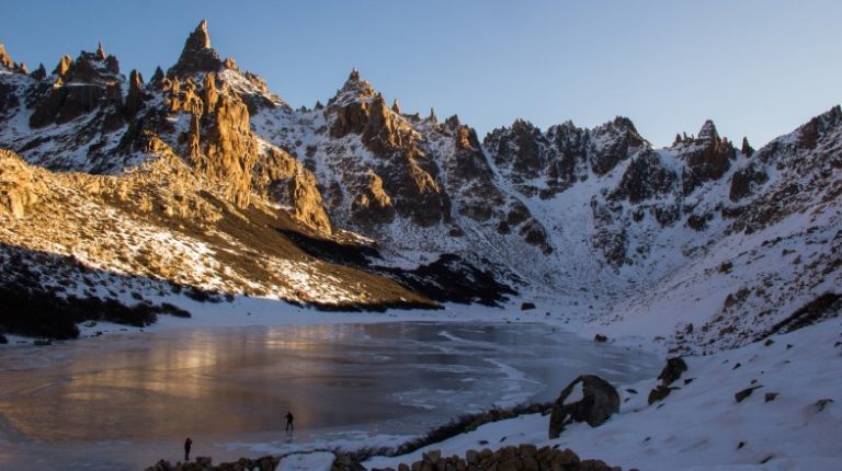
The best way to get to Refugio Frey trailhead is by bus from Bariloche or by driving your own rental
A community based on sharing tips and experiences on the different destinations of the world.