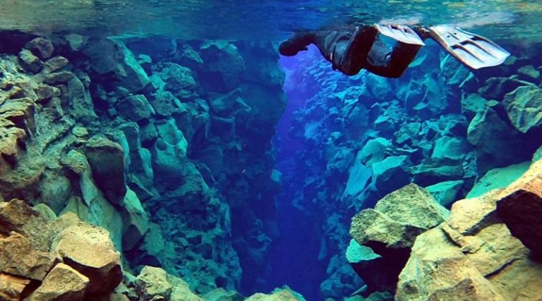
Site de plongée de Silfra
Il y a environ 60 km entre Reykjavik et Silfra. Le moyen le plus simple de s'y rendre est de réserver une excursion d'une journée.
Droits d'auteur Unsplash
Culminant à 60 mètres de hauteur, les chutes de Skogafoss se trouvent à environ 5 kilomètres du village de Skogar. Elles proviennent directement de deux glaciers : l'Eyjafjallajokull et le Myrdalsjokull. Vous pouvez accéder au pied des chutes et les rejoindre à pied. L'entrée est gratuite et vous pouvez camper au camping situé à côté des chutes moyennant une somme modique.
Skogafoss est à deux heures de route de Reykjavik. Suivez la route circulaire vers l'est depuis Reykjavik et vous pourrez apercevoir les cascades depuis la route.

Il y a environ 60 km entre Reykjavik et Silfra. Le moyen le plus simple de s'y rendre est de réserver une excursion d'une journée.

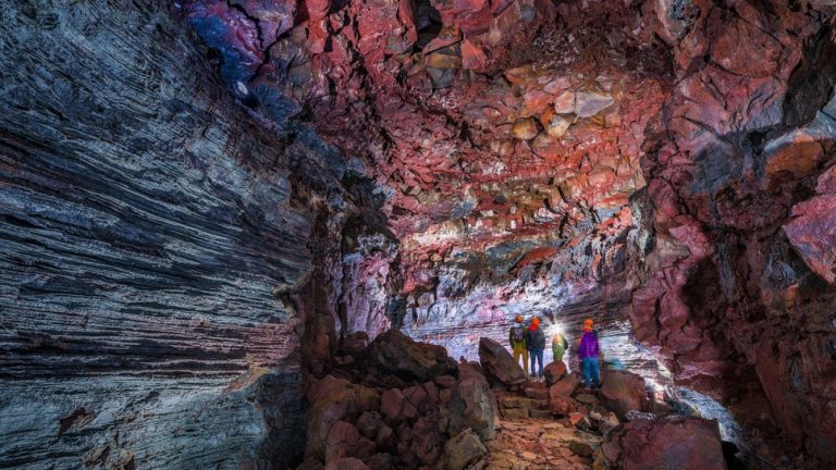
Le moyen le plus simple de s'y rendre est de louer une voiture et de vous y rendre par vos propres moyens. Il est situé sur

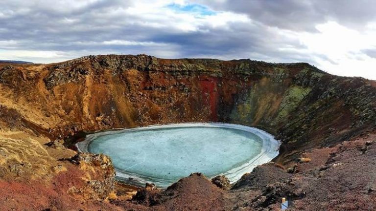
Le moyen le plus simple de s'y rendre est de s'y rendre en voiture. Le cratère est situé le long de la route du Cercle d'Or
Une communauté basée sur le partage de conseils et d'expériences sur les différentes destinations du monde.
Une réponse
Directement depuis la cascade, vous pouvez commencer la randonnée du Fimmvorduhals, de Skogar à Thorsmork. Elle fait environ 25 km et 1 000 m de dénivelé. C'était l'une des plus belles randonnées de ma vie, et elle en valait vraiment la peine. Le plus délicat est le bus pour revenir à votre voiture : la vallée de Thorsmork est inaccessible en voiture, il faut donc un trajet spécial (environ 60$) pour rejoindre la ville la plus proche. Le reste se fait en stop.