Parc national Tenorio
Vous pouvez vous rendre au parc national du volcan Tenorio depuis San José en empruntant la route principale en direction de San Carlos et
Copyright By Solid Car Rental
Cerro Chato is a majestic volcano situated in Costa Rica's rainforest. It is a popular destination for travellers and hikers from around the world and offers scenic views along the way. The trail to reach the summit of Cerro Chato departs from the Arenal Observatory Lodge and onto Chato's western slope. The trail leads along a ridge and descends towards the eastern slope, leading to an end point near La Fortuna Waterfall.
The best way to get to Cerro Chato Volcano is to drive there yourself. First, reach La Fortuna Town and from there, drive west and follow the signs to the Arenal Volcano National Park. You can hike Cerro Chato Volcano on your own or you can book a tour that includes transportation, the national park fee and a guided tour.

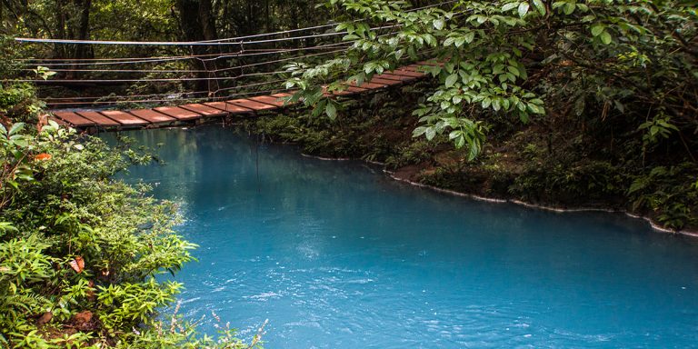
Vous pouvez vous rendre au parc national du volcan Tenorio depuis San José en empruntant la route principale en direction de San Carlos et

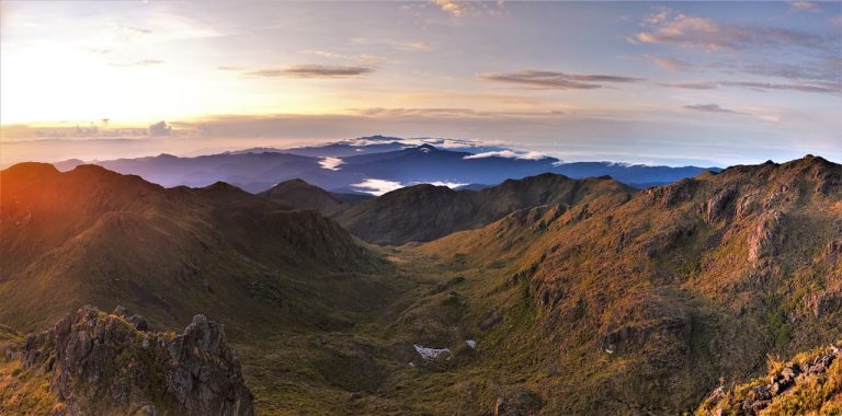
Pour rejoindre le parc national Chirripo, vous pouvez prendre le bus depuis le terminal de San Isidro en direction de San Gerardo, ou vous pouvez

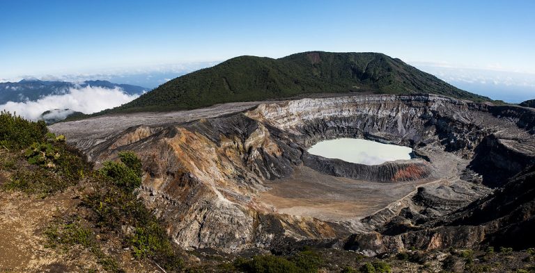
Vous pouvez vous rendre au parc national du volcan Paos par vos propres moyens, en voiture ou en moto. Des visites en bus sont disponibles si
Une communauté basée sur le partage de conseils et d'expériences sur les différentes destinations du monde.